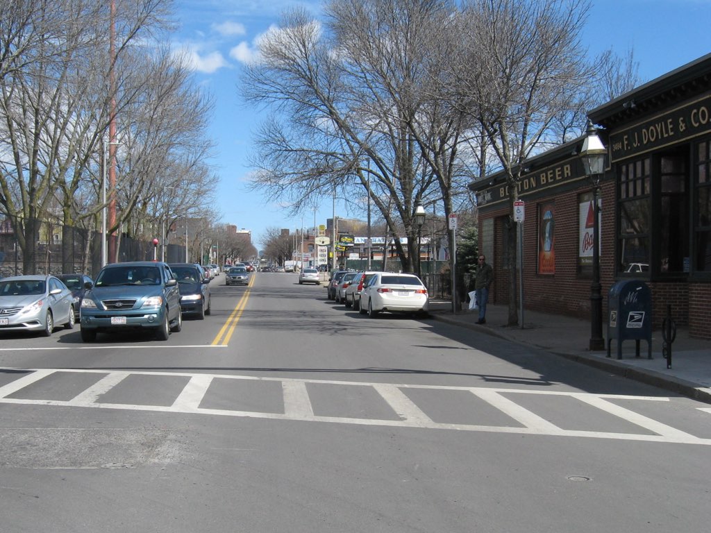
The Washington Street Corridor, approximately one mile from the Forest Hills MBTA station to Egleston Square, presents the City of Boston with an opportunity to reassess the identity, create a new vision, and think strategically about the types of uses, the public realm, and the scale of development that are best suited for the Corridor and for the Jamaica Plain neighborhood.
The Boston Redevelopment Authority is about to embark on a planning study of the corridor. The City of Boston is looking to the Rose Center to augment this study by providing recommendations and lend an independent voice as the City considers options including transit-oriented development as well as other residential and commercial options along the corridor.
The study of the corridor must examine and determine the compatibility of different uses including housing, commercial, and light industrial while studying the impacts of traffic and other forms of transportation. Of particular focus is the recent wave of mixed use residential projects making their way to the Corridor, and determining the implications of redevelopment. The study will also focus on reassessing the identity of the corridor in which the public realm will be studied in order to create more consistency and beautification efforts from end to end. Property owners, public agencies, and other stakeholders should have a clear direction for the future of the Washington Street Corridor at the completion of the study.
The first task will be an inventory and assessment of existing land use, zoning, demographics, recently permitted development or development under review, transportation, and parking along the corridor, as well as an identification of the opportunities, priorities, issues, and weaknesses within the corridor. These opportunities and priorities will help to determine a vision that matches community desires with the realities of the current real estate market conditions for the corridor. The next step will be to create and consolidate urban design and transportation improvement recommendations as well as build-out concepts based on the community vision for the future growth of the corridor. The final step will be to identify responsible parties and assign timelines for implementation.